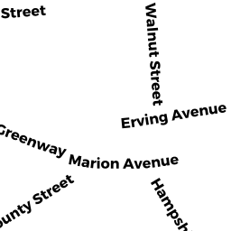
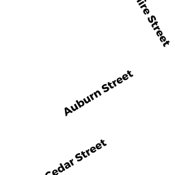
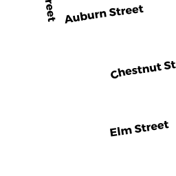
HAMPSHIRE ST (& AUBURN ST)
Owner Information
LAWRENCE HOUSING AUTHORITY
HAMPSHIRE-AUBURN STS
LAWRENCE, MA 01841

Property Details
HAMPSHIRE ST (& AUBURN ST) is classified as a Charitable Services (Apartments).
The primary structure on this property was built in 1950. There are 16,193ft2 of built area within this property. There is 10,422ft2 of residential/living space within this property.
HAMPSHIRE ST (& AUBURN ST) is valued at $5,306,600. The land is valued at $677,800 and the structures are valued at $4,576,900. There is an additional valuation of $51,900 on this property.
This property is in Zone R-3. Confirm with local Zoning Board authorities to ensure there are no overlays or other easements on this property.
Assessment data from fiscal year 2022.
Flood Data
This property is partially within the AE Zone (within floodplain). Approximately 2.34 acres (81.51%) of the property is within this zone.
This information is sourced from the FEMA National Flood Hazard Layer. See our full disclamer.
Broadband Internet Providers
| Provider | Type | Bandwidth (mbps) | |
|---|---|---|---|
| HughesNet | Satellite | 25 | 3 |
| GCI Communication Corp. | Satellite | 0 | 0 |
| Comcast | Cable | 1000 | 35 |
| Verizon New England Inc. | Fiber | 940 | 880 |
| Verizon New England Inc. | DSL | 10 | 1 |
| Viasat Inc | Satellite | 100 | 3 |
| VSAT Systems, LLC. | Satellite | 2 | 1 |
Broadband service provider data from December 2020.